Aerial Imaging
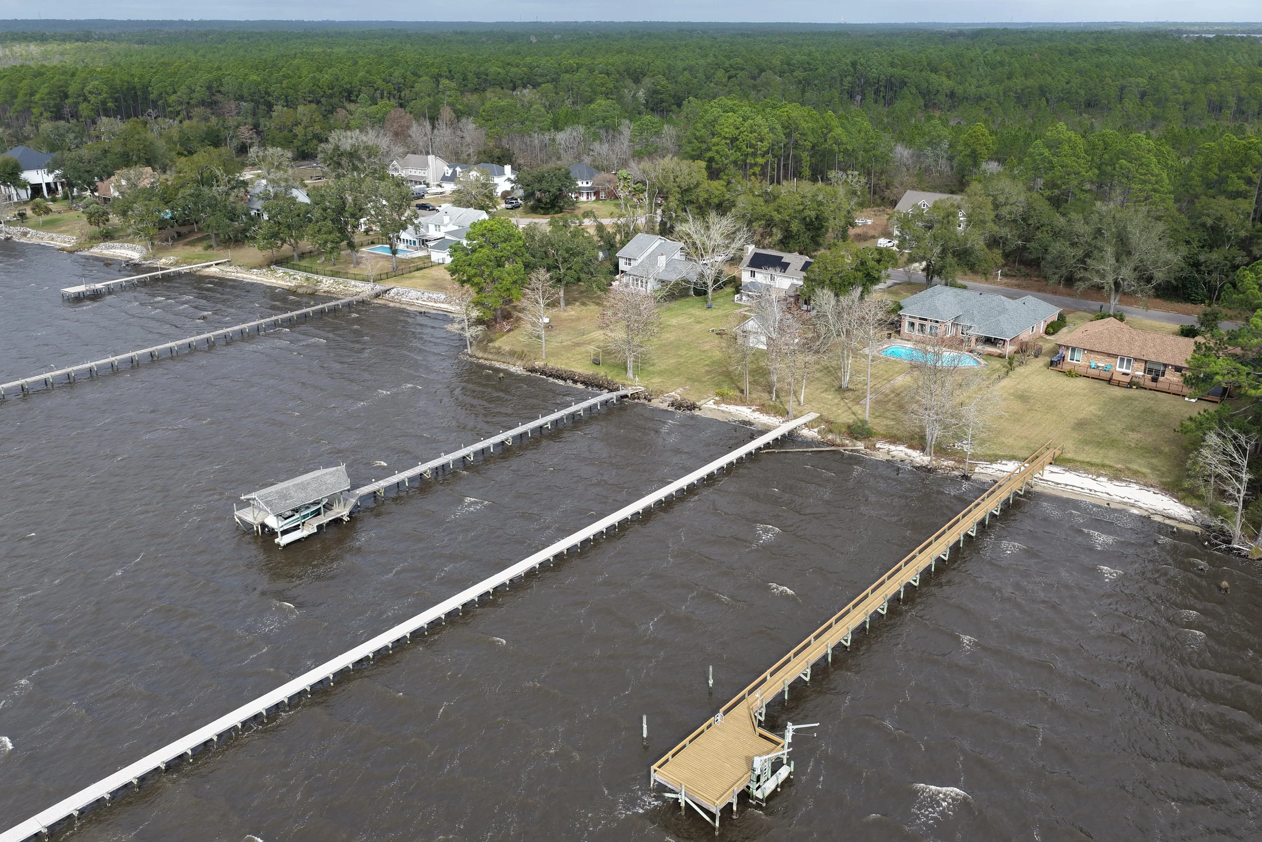
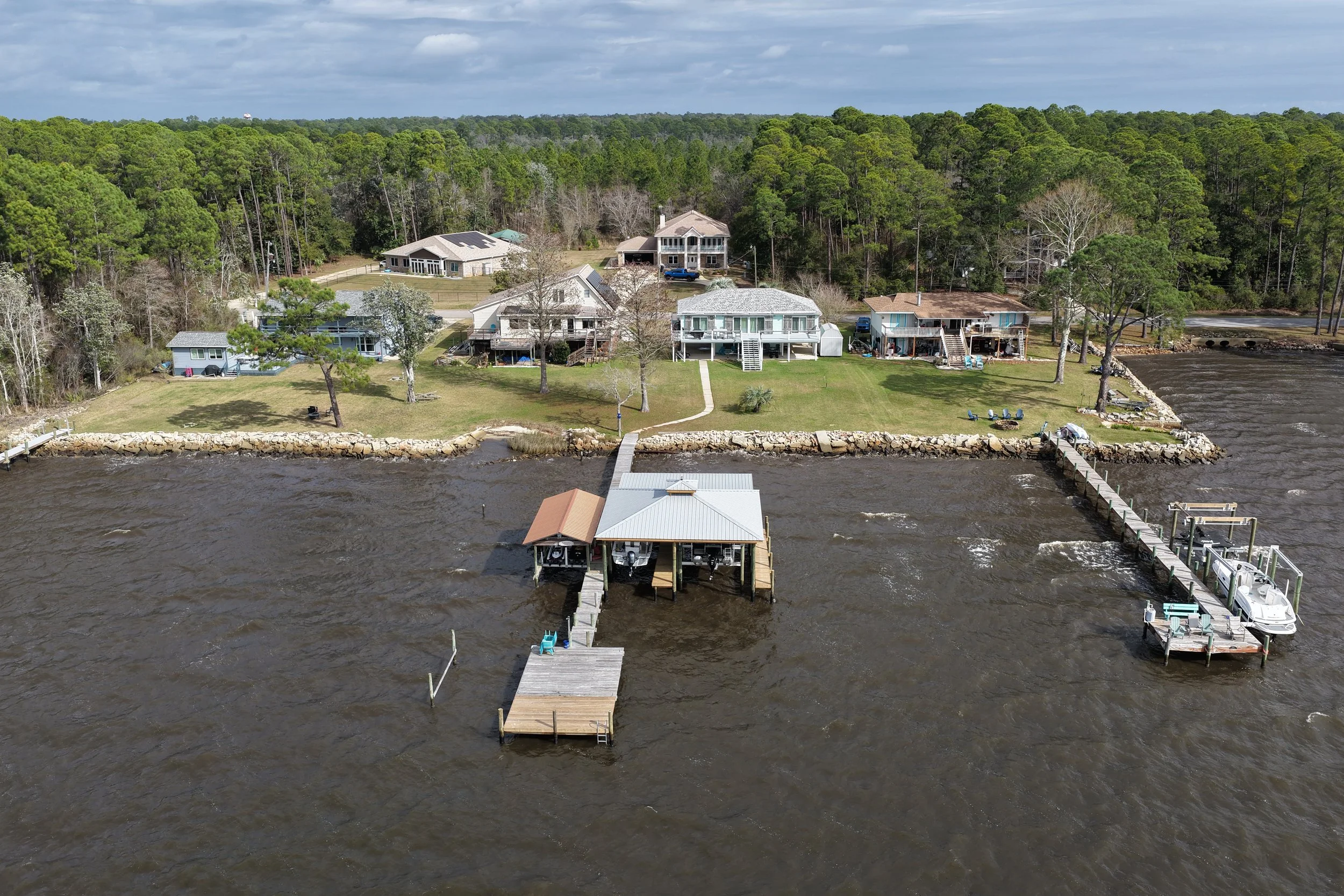
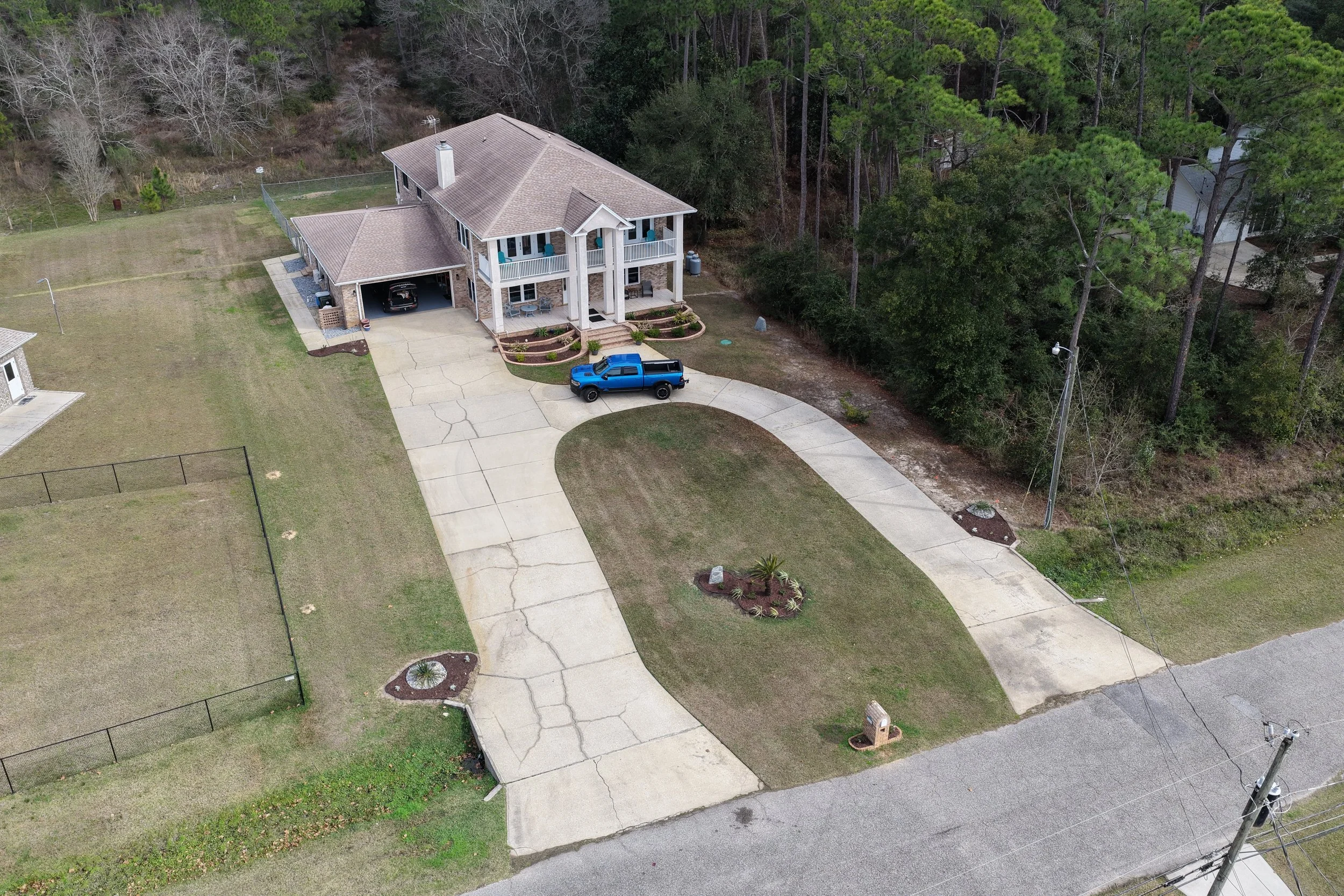
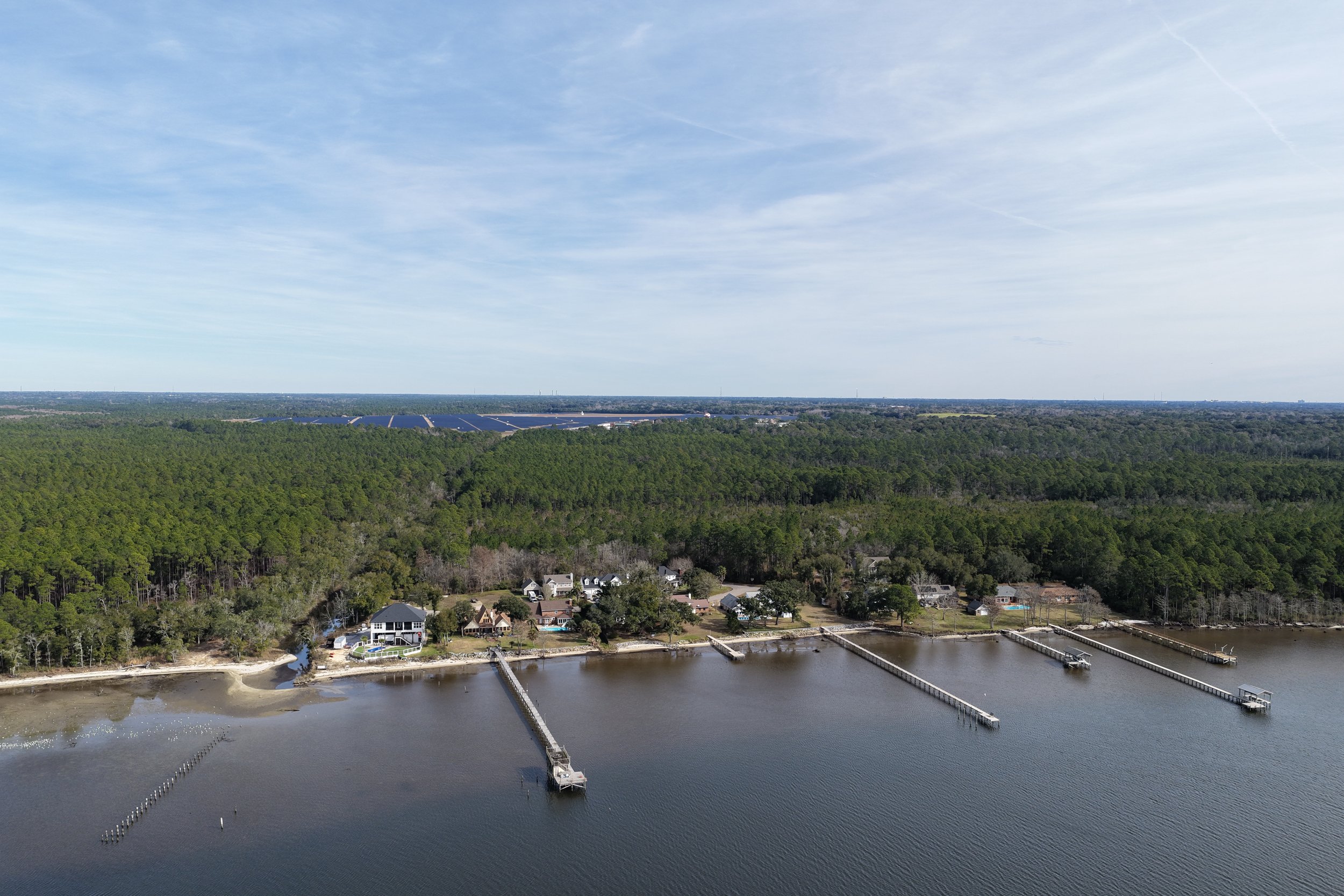
Real estate properties are often defined as much by their location and surroundings as by the structures themselves. Aerial imagery provides essential context that helps people understand how a property fits within its environment.
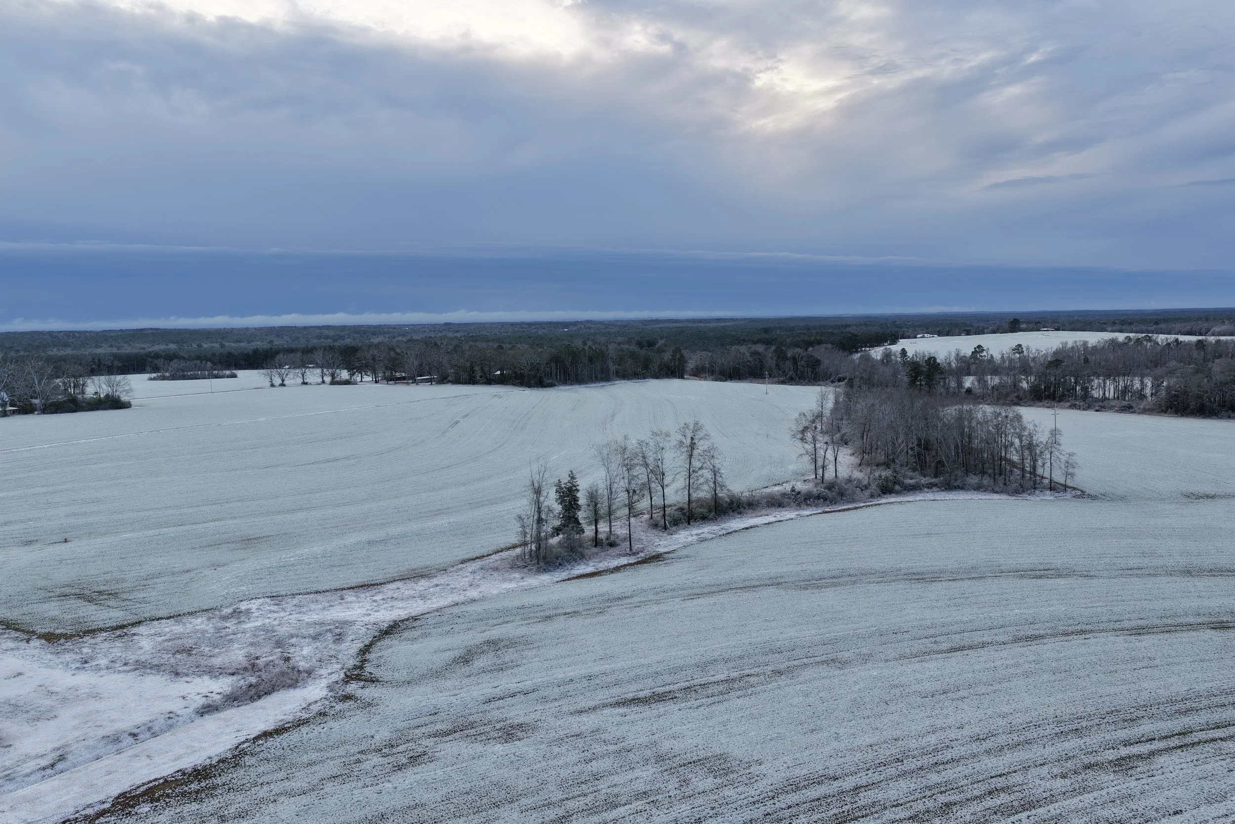
Real Estate Aerial Services
Each real estate flight is planned to capture clean, accurate imagery that presents the property clearly and professionally. Services may include:
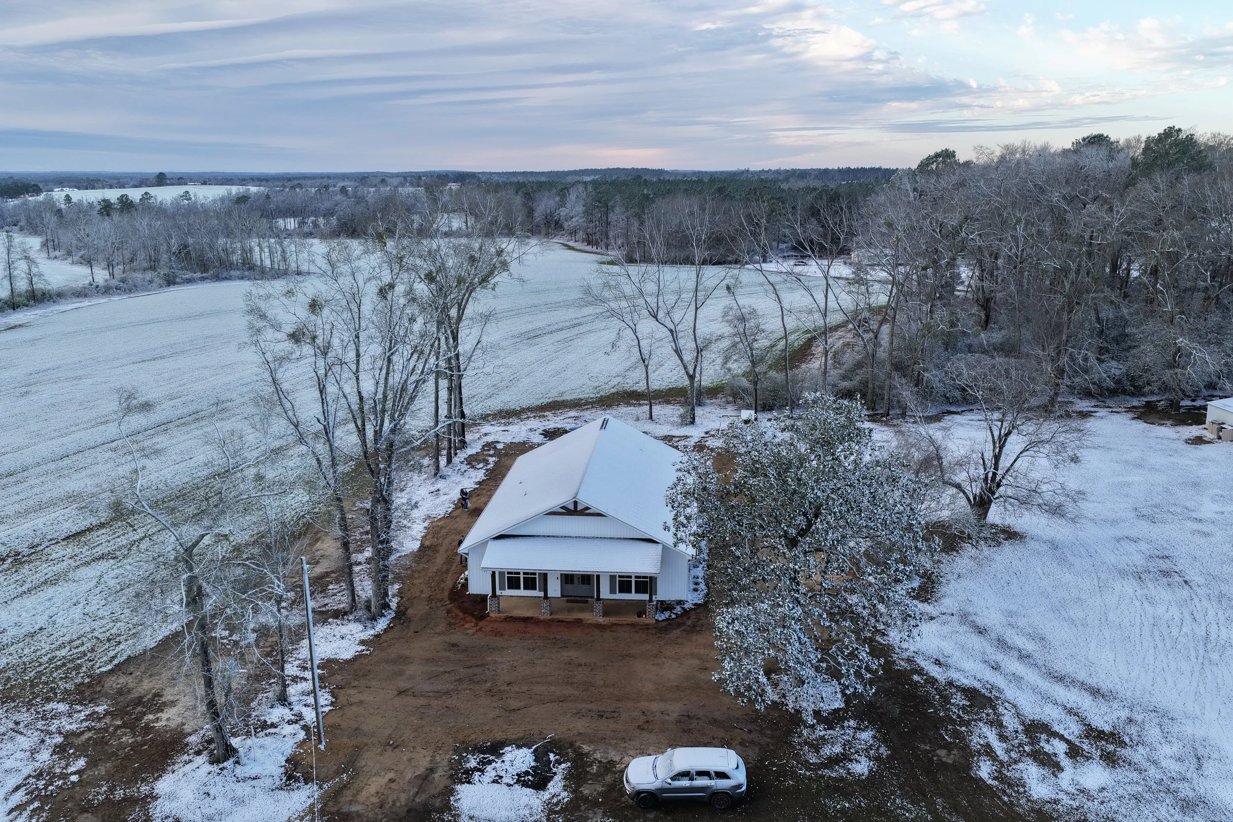
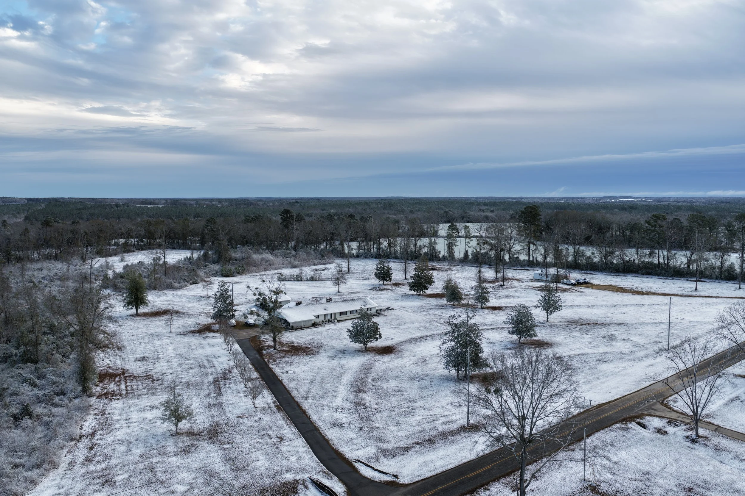
Residential and commercial property overviews
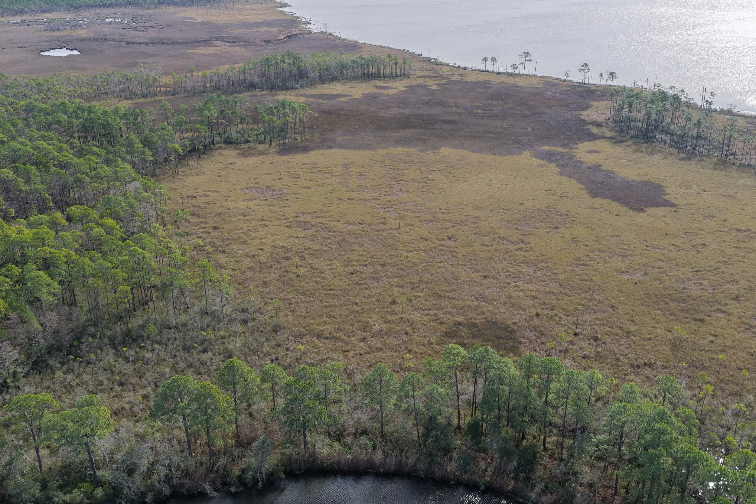
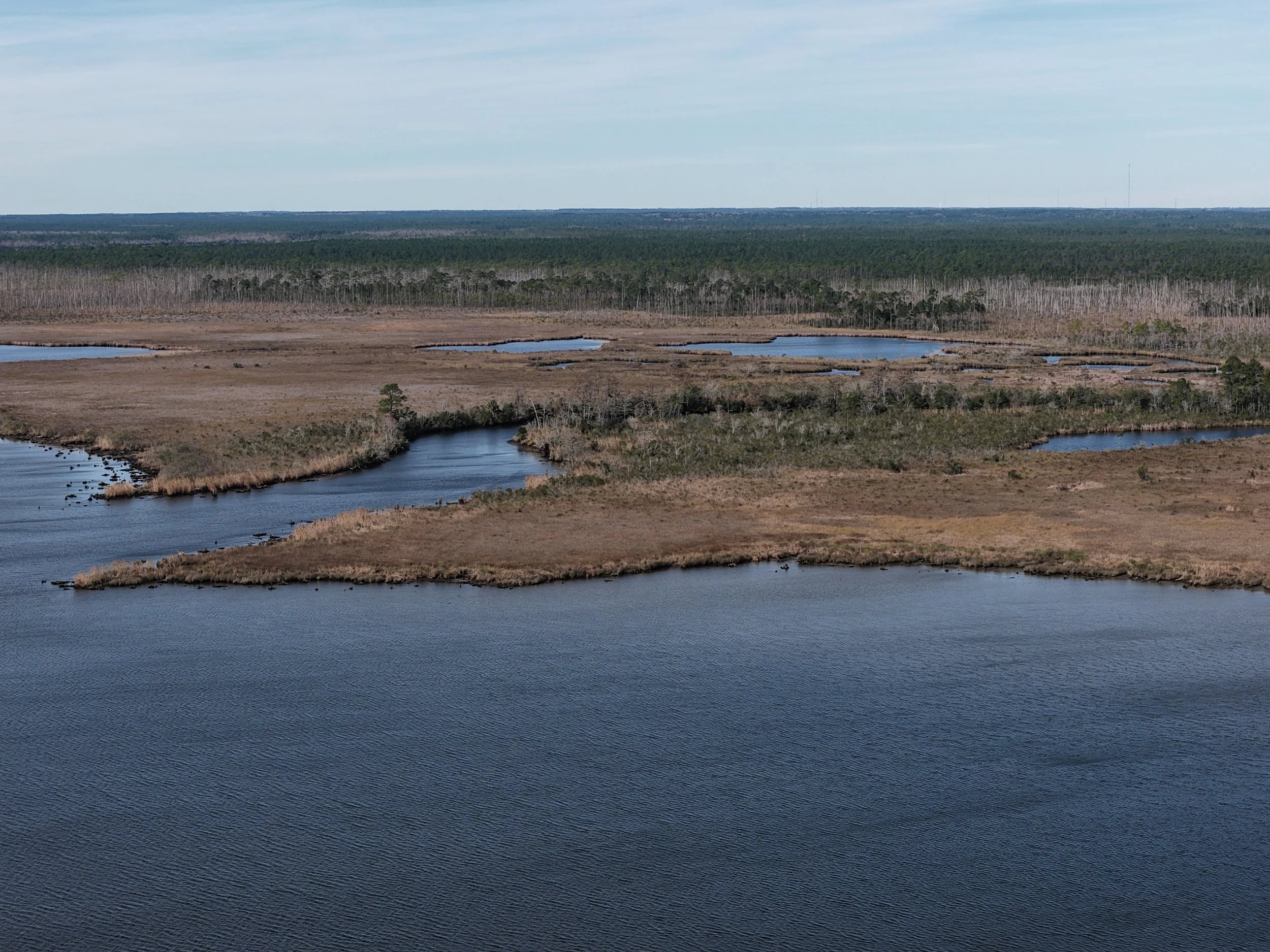
High-quality aerial images that provide a clear sense of scale, layout, and setting.Acreage and land listing imagery
Aerial perspectives that help buyers visualize property size, boundaries, and features.Location and surroundings context
Visuals that show how a property relates to nearby roads, development, and natural features.Marketing imagery for listings and promotions
Clean, professional aerial photos suitable for listings, websites, and promotional materials.
Get in Touch
Whether you’re evaluating land, planning a project, inspecting a site or structure, reducing inspection liabilities, or exploring how aerial data can support your work, Cornerstone Aerial Solutions is here to help. We take the time to understand your goals and provide clear, reliable insight you can trust.
Reach out to start a conversation, request a quote, or learn more about how our aerial solutions can support informed decision-making.