

Our Solutions
Agricultural Aerial Solutions
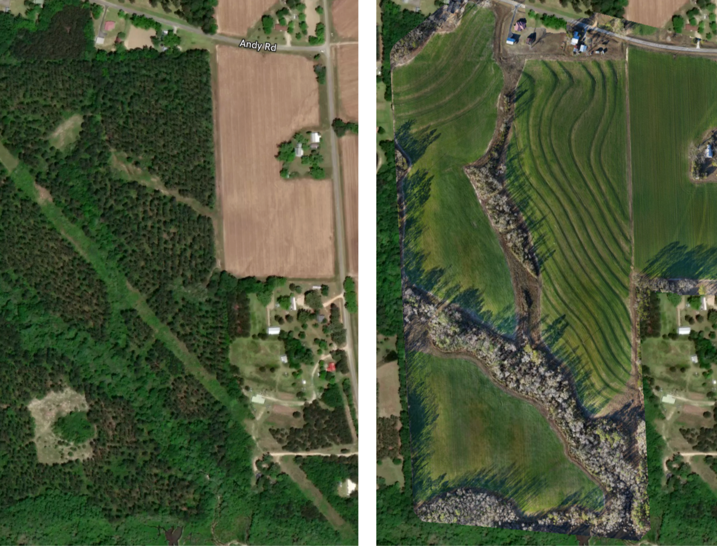
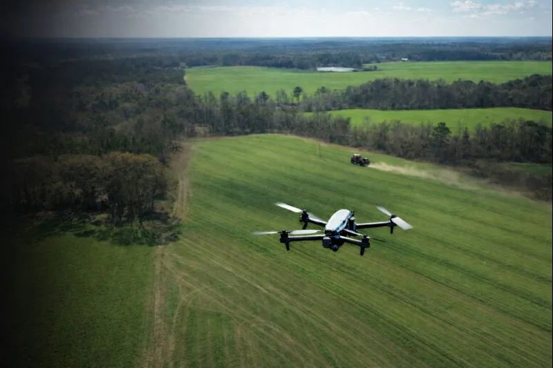
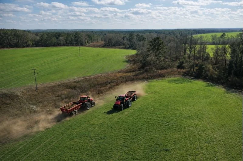
Most recent satellite image vs same day plot visual (1.48cm/p accuracy for 104 acres)Cornerstone Aerial Solutions provides data-driven aerial insights to help farmers and landowners see more, respond faster, and manage their land with confidence. Using high-resolution mapping and vegetation analysis, we deliver clear visuals and actionable information that support crop monitoring, drainage evaluation, and overall land stewardship—without disrupting daily operations.
Our agricultural services are designed to identify patterns and problem areas that are difficult or impossible to see from the ground, empowering better decisions throughout the growing season.
Common agricultural applications include:
Field and acreage overview mapping
Crop and vegetation health analysis (NDVI)
Drainage, erosion, and water flow visualization
Land condition documentation for planning and assessment.
Click to explore how aerial data can support smarter agricultural decisionsMapping & Inspection Aerial Solutions
3D Visual of a High School with 1.14 cm/p Accuracy. Cornerstone Aerial Solutions provides accurate aerial mapping and inspection services to help clients assess sites, monitor progress, and identify conditions safely and efficiently. Using high-resolution imagery and site-specific flight planning, we deliver clear visuals that support planning, evaluation, and informed decision-making.
Our mapping and inspection services are designed to reduce risk, improve visibility, and provide insight that is difficult or unsafe to obtain from the ground.
Common mapping and inspection applications include:
Orthomosaic mapping for land, sites, and facilities
Construction and development documentation
Roof and structure inspections (no climbing required)
Infrastructure and utility inspection workflows
Click to explore how aerial mapping and inspection can support safer, smarter site assessment.Real Estate Aerial Imaging
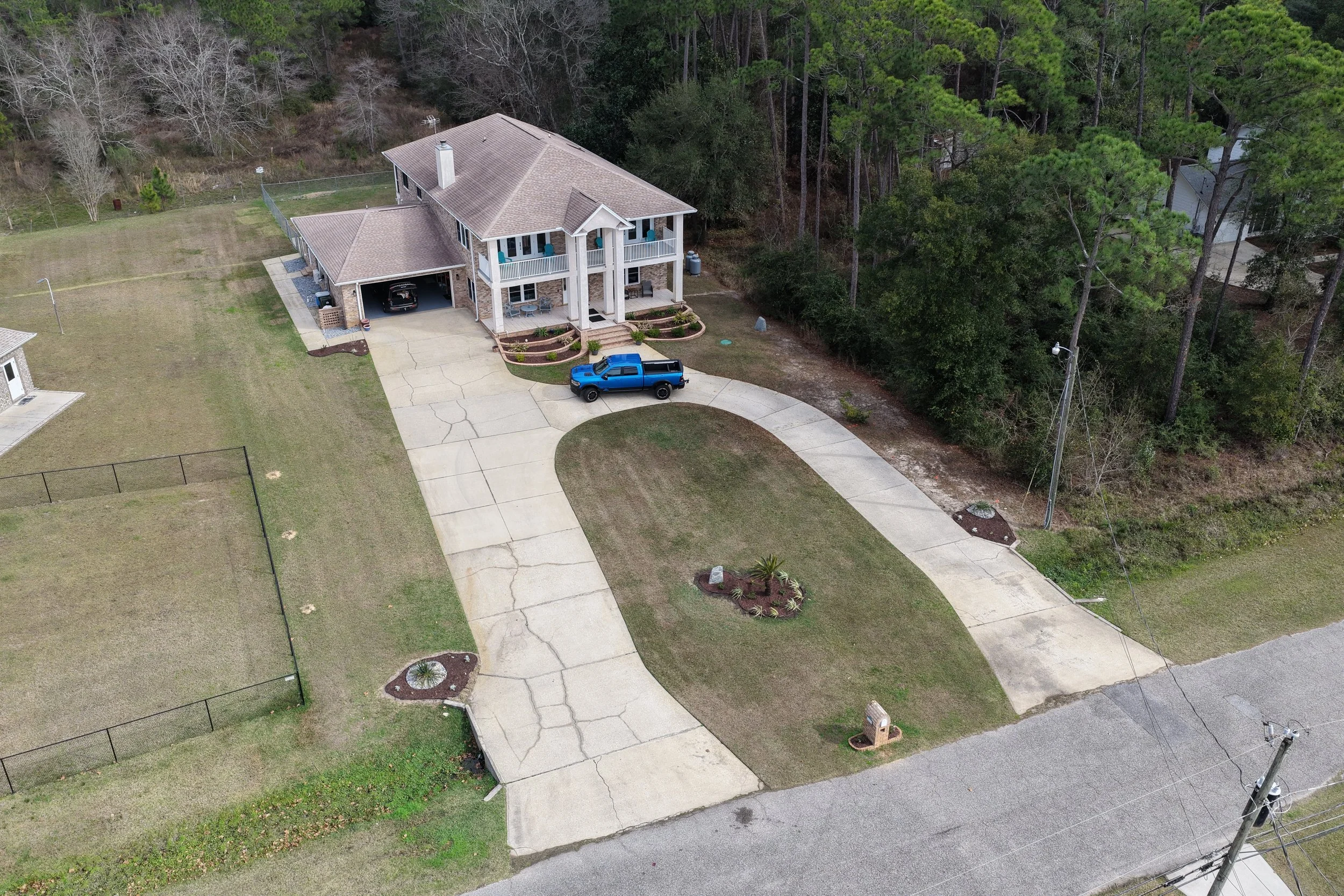
Cornerstone Aerial Solutions provides professional aerial imagery that helps properties stand out and gives buyers a clear understanding of location, layout, and surroundings. Our aerial perspective highlights scale, access, and context that ground-level photos can’t capture, making listings more informative and visually compelling.
Real estate aerial imaging is designed to support marketing, land evaluation, and presentation—delivering clear visuals that help properties tell their full story.
Common real estate applications include:
Residential and commercial property overviews
Acreage and land listings
Location and surrounding context visuals
Marketing imagery for listings and promotions
Click to see how aerial imagery can elevate property presentation and visibility.About
Cornerstone Aerial
Cornerstone Aerial Solutions was founded to provide accurate, reliable, and ethically operated aerial data for landowners, businesses, and communities across South Alabama. We believe aerial technology should do more than capture images—it should deliver clear insight that supports confident, real-world decisions.
As an FAA Part 107–certified and fully insured operator, we prioritize safety, transparency, and precision in every project. Our approach is grounded in understanding the purpose behind each flight, ensuring the data we deliver is practical, meaningful, and easy to use.
Learn more about our mission, values, and approach.
Get in Touch
Whether you’re evaluating land, planning a project, inspecting a site or structure, reducing inspection liabilities, or exploring how aerial data can support your work, Cornerstone Aerial Solutions is here to help. We take the time to understand your goals and provide clear, reliable insight you can trust.
Reach out to start a conversation, request a quote, or learn more about how our aerial solutions can support informed decision-making.